Utility surveys to locate buried services before you build
Utility Surveys .
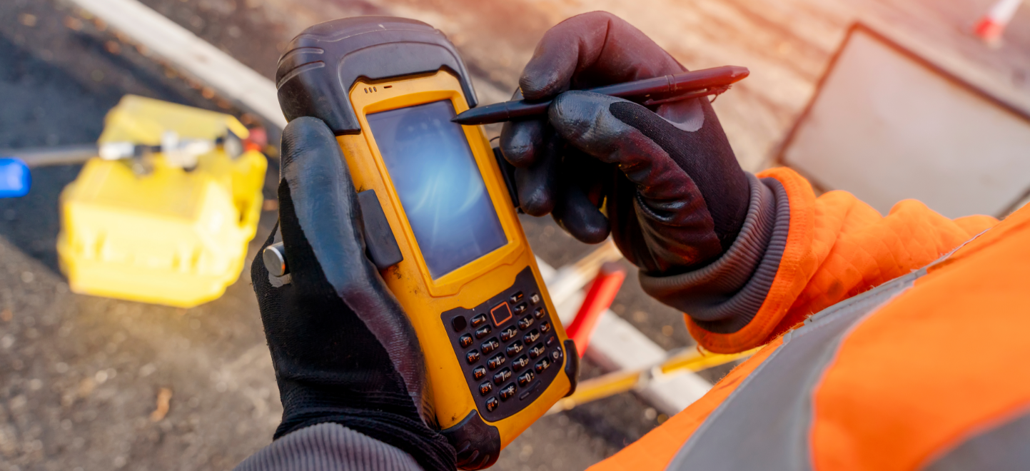
Our team uses both traditional and up-to-date techniques to enable us to provide an accurate and cost-effective service.
A utility survey identifies the pipes, cables and other services buried beneath a site before any groundworks begin. Knowing what is below ground helps protect your project from unexpected delays, damage to services and safety risks once construction starts.
Utility mapping carried out to PAS128
Our utility surveys are carried out in line with PAS128, the industry standard for underground utility detection and mapping in the UK. This gives your project team confidence in the accuracy and reliability of the information we provide.
We combine ground penetrating radar with electromagnetic detection to build up a clear picture of what lies beneath the surface, then present this as a utility mapping drawing that fits alongside your topographical survey.
Why underground utility surveys matter
Striking an unmarked utility can be expensive, dangerous and disruptive to a programme. An underground utility survey carried out before works begin reduces this risk considerably and supports safer planning of excavation and construction work.
Our utility surveyors work closely with our topographical survey team, so buried services can be shown alongside above ground features on the same set of drawings.
FAQs About Utility Surveys
A utility survey identifies and maps underground services such as water, gas, electricity and drainage before construction work begins.
PAS128 is the UK standard for utility detection and mapping surveys. It sets out different quality levels of survey, depending on how accurate the information needs to be.
It is strongly recommended. A utility survey reduces the risk of striking buried services during excavation, which can cause delays, damage and safety issues.
We use a combination of ground penetrating radar and electromagnetic detection equipment to trace and record underground services accurately.
Yes. We regularly present utility survey data alongside topographical survey information on the same drawing, giving your project team a complete picture of the site.
SURVEYING SERVICES






Our latest projects
Shape the future with us
Please do not hesitate to call or send an email, our team is happy to discuss your requirements.