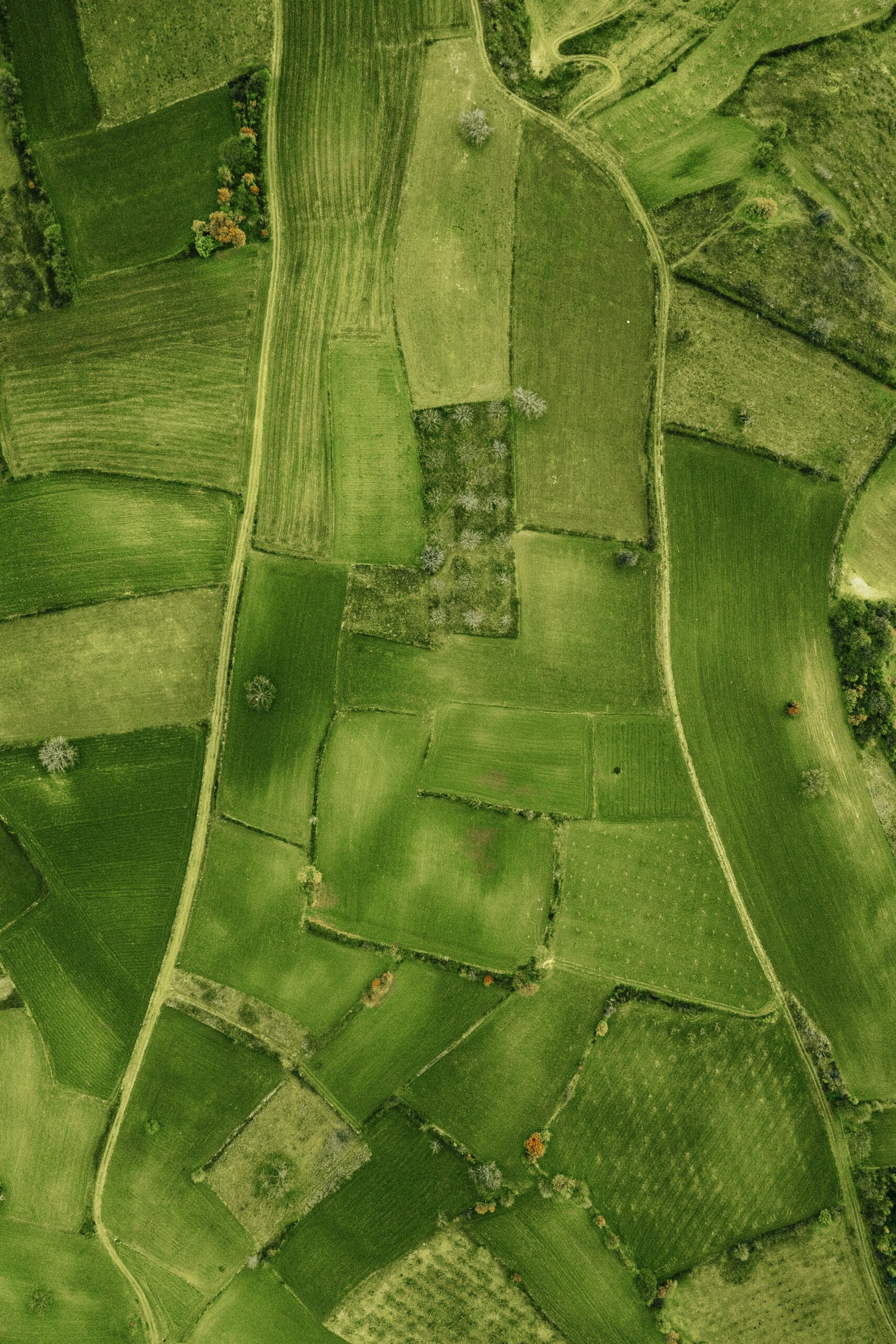

Topographical surveys for accurate site information
Topographical Surveys .
Land surveys produced by TAG surveys are easy to use, accurate and comprehensive.
A topographical survey gives your project team an accurate picture of a site before any design work begins. Our surveyors record ground levels, boundaries, trees, buildings and other features, then turn this information into a clear drawing that your architect or engineer can design around with confidence.
What our topographical survey service includes
Our topographical surveys are carried out using GPS, total stations and drone technology, depending on what suits your site best. This means we can survey large or difficult sites efficiently while still capturing the detail needed for design work.
Every topographical survey is checked before it is issued, so you can trust the levels and measurements you are working from.
Why an accurate topographic survey matters
A topographic survey that is even slightly wrong can lead to costly changes further down the line, once foundations, drainage or road levels have already been designed around it. Getting the survey right at the start protects the rest of your project budget and programme.
Our topographical surveyors work with developers, architects and civil engineers across the UK, so we understand how the information needs to be presented to be genuinely useful once it reaches your design team.
FAQs About Topographical Surveys
A topographical survey is a detailed record of a site’s ground levels, boundaries and features. It is used by architects and engineers to design buildings, roads and drainage around the existing site conditions.
Cost depends on the size of the site, the level of detail required and access. Contact us with details of your project and we will provide a price based on what you need.
Smaller sites can often be surveyed within a day, while larger or more complex sites take longer. We will give you a timescale once we understand the scope of the survey.
A topographical survey records the land and outdoor features of a site, while a measured building survey focuses on the detailed dimensions of an existing building.
Many planning applications require an accurate topographical survey to show existing site levels and features, so it is worth arranging one early in your project.
SURVEYING SERVICES






Our latest projects
Shape the future with us
Please do not hesitate to call or send an email, our team is happy to discuss your requirements.